
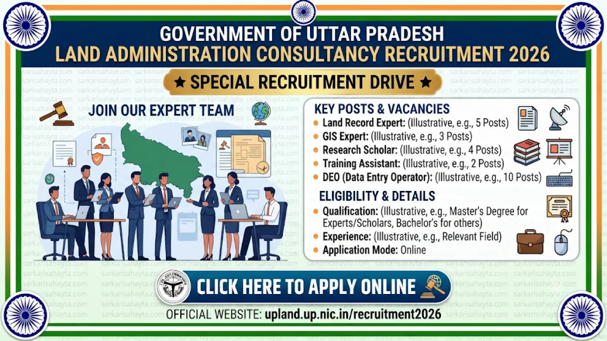
Welcome to the Complete Guide on Dr. Ram Manohar Lohia Academy Consultancy Recruitment 2026 for Land Records, GIS, Research and Training Professionals
Dr. Ram Manohar Lohia Uttar Pradesh Academy of Administration and Management, Lucknow, has announced an important consultancy-based recruitment initiative under the Centre of Excellence in Land Administration Management being established under DILRMP 3.0. The academy intends to engage experienced professionals, domain experts, research specialists, and technical personnel for various consultancy assignments related to land administration, digital land records, GIS technologies, policy research, training management, and data administration.
This recruitment is particularly significant because land governance is undergoing rapid modernization across India through digitization, GIS integration, geospatial mapping, online land record systems, survey modernization, cadastral reforms, and technology-enabled land administration frameworks. The proposed consultancy assignments are designed to support these modernization efforts through expert knowledge and research-based policy support.
Professionals from revenue administration, land management, GIS technology, geoinformatics, legal research, public policy, data analytics, and training management backgrounds may find this opportunity highly valuable due to its interdisciplinary nature and attractive remuneration structure.
Table of Contents
- Recruitment Overview
- Position and Vacancy Details
- Land Record Expert Position
- IT & GIS Expert Position
- Research Scholar Positions
- Training Assistant Position
- Data Entry Operator Position
- Honorarium Structure
- Why DILRMP 3.0 Matters
- Career Scope and Opportunities
- Expert Analysis
- Essential Full Forms
- Frequently Asked Questions
Recruitment Overview
The academy plans to engage qualified and experienced subject matter experts for consultancy assignments under the Centre of Excellence in Land Administration Management. The initiative is associated with DILRMP 3.0 and focuses on strengthening land governance, land information systems, training, research, and digital mapping activities.
| Particular | Details |
|---|---|
| Organization | Dr. Ram Manohar Lohia Academy of Administration and Management |
| Location | Lucknow, Uttar Pradesh |
| Project | Centre of Excellence in Land Administration Management |
| Scheme | DILRMP 3.0 |
| Recruitment Type | Consultancy Assignment |
| Total Positions | 06 |
Position Wise Vacancy Details
| Position | Vacancies | Monthly Honorarium |
|---|---|---|
| Land Record Expert | 01 | ₹1.00 Lakh |
| IT & GIS Expert | 01 | ₹1.00 Lakh |
| Research Scholar (Land Record Support) | 01 | ₹70,000 |
| Research Scholar (IT & GIS Support) | 01 | ₹70,000 |
| Training Assistant | 01 | ₹50,000 |
| Data Entry Operator | 01 | ₹30,000 |
Land Record Expert Position
The Land Record Expert role is designed for retired administrative and revenue professionals who possess deep understanding of land administration systems, surveys, registration procedures, revenue administration, and consolidation activities.
Preferred candidates include:
- Retired SDM officers.
- Retired Tehsildars.
- Equivalent government officials.
- Experts with land record administration experience.
- Revenue administration professionals.
- Survey and consolidation specialists.
The role offers a monthly honorarium of ₹1 lakh.
IT & GIS Expert Position
The IT & GIS Expert role is one of the most technically advanced positions advertised under this initiative. Candidates are expected to possess strong technical expertise in GIS applications, geospatial technologies, remote sensing, database management, land information systems, and Web GIS development.
Required qualifications include:
- B.Tech / B.E. in Computer Science, IT, or Electronics.
- MCA qualification.
- M.Tech in GIS.
- M.Tech in Remote Sensing.
- M.Tech in Geoinformatics.
- M.Tech in Computer Science.
Candidates should possess at least five years of professional experience with a minimum of two years in land information systems, digital mapping, urban land administration, rural land administration, or geospatial projects.
Key technical competencies include:
- Python Programming.
- R Programming.
- SQL Databases.
- GeoServer.
- OpenLayers.
- Web GIS Development.
- Spatial Database Management.
- Remote Sensing Image Processing.
- PostGIS.
Research Scholar Positions
Two Research Scholar positions have been announced to support both Land Record and GIS experts. These positions emphasize research, policy analysis, documentation, data interpretation, and technical support activities.
Research Scholar for Land Administration
- LL.B. or LL.M.
- Public Administration.
- Geography.
- Economics.
- Social Sciences.
- NET/JRF candidates preferred.
Candidates with experience in revenue law, land reform, public policy, survey administration, consolidation systems, and legal research will have an advantage.
Research Scholar for IT & GIS Support
- B.Tech / B.E.
- MCA
- M.Sc.
- M.Tech
- GIS Specialization
- Remote Sensing
- Geoinformatics
- Geomatics
Applicants should possess three to five years of experience in GIS, IT systems, remote sensing, mapping, database management, and spatial data handling.
Training Assistant Position
The Training Assistant position focuses on coordination, communication, capacity building, and training management activities. Professionals with strong organizational and communication capabilities are likely to find this position suitable.
- Graduate Degree Required.
- BBA Preferred.
- BSW Preferred.
- B.Ed Preferred.
- BCA Preferred.
- MBA-HR Preferred.
- MSW Preferred.
The position provides an honorarium of ₹50,000 per month.
Data Entry Operator Position
The Data Entry Operator position is intended for professionals skilled in database administration, data handling, office automation, and digital document management.
Important qualifications include:
- Graduate Degree.
- Computer Diploma.
- O Level Qualification.
- DCA Qualification.
- PGDCA Qualification.
- Computer Science Degree holders preferred.
Required competencies include:
- Hindi Typing (Unicode/Krutidev).
- English Typing.
- Minimum 25 WPM typing speed.
- Advanced MS Excel knowledge.
- Google Workspace proficiency.
- PDF Management tools.
- Digital Database Management.
- Office Automation Systems.
Monthly Honorarium Structure
| Position | Honorarium |
|---|---|
| Land Record Expert | ₹1,00,000 |
| IT & GIS Expert | ₹1,00,000 |
| Research Scholar | ₹70,000 |
| Training Assistant | ₹50,000 |
| Data Entry Operator | ₹30,000 |
Why DILRMP 3.0 Is Important
The Digital India Land Records Modernization Programme (DILRMP) represents one of India's most important governance reforms. The programme focuses on digitizing land records, improving transparency, reducing land disputes, enhancing property administration efficiency, and integrating GIS technologies with land governance systems.
Professionals recruited under such initiatives gain exposure to some of the most important public-sector modernization efforts currently underway in India. Their contributions can influence policy formulation, land management efficiency, urban development planning, and public service delivery.
Career Scope and Opportunities
Professionals selected for these consultancy assignments can strengthen careers in:
- Land Administration.
- GIS and Geospatial Technology.
- Public Policy.
- Revenue Administration.
- Remote Sensing.
- Research and Analytics.
- Government Consulting.
- Training and Capacity Building.
- Digital Governance.
- Data Management Systems.
Expert Analysis
This recruitment is notable because it combines administrative expertise, modern technology, legal research, GIS engineering, training coordination, and digital governance under a single institutional framework. Few consultancy opportunities offer such multidisciplinary exposure.
The IT & GIS Expert role particularly reflects the growing importance of geospatial technologies within public administration. Land administration systems increasingly depend on spatial databases, remote sensing imagery, digital cadastral maps, and integrated GIS platforms.
Similarly, the Land Record Expert position recognizes the value of practical administrative experience gained through decades of revenue and land management service. By integrating domain experts with technology specialists and research scholars, the academy appears to be developing a comprehensive institutional model for modern land governance.
For professionals interested in policy, governance, GIS, revenue administration, research, geospatial analytics, and land reforms, these consultancy assignments offer both professional visibility and meaningful public-sector impact.
Essential Full Forms
| Abbreviation | Full Form |
|---|---|
| DILRMP | Digital India Land Records Modernization Programme |
| GIS | Geographic Information System |
| MCA | Master of Computer Applications |
| M.Tech | Master of Technology |
| LL.B. | Bachelor of Laws |
| LL.M. | Master of Laws |
| NET | National Eligibility Test |
| JRF | Junior Research Fellowship |
| BBA | Bachelor of Business Administration |
| BSW | Bachelor of Social Work |
| BCA | Bachelor of Computer Applications |
| MSW | Master of Social Work |
| DCA | Diploma in Computer Applications |
| PGDCA | Post Graduate Diploma in Computer Applications |
| SQL | Structured Query Language |
| PSU | Public Sector Undertaking |
Frequently Asked Questions (FAQs)
- How many consultancy positions have been announced under the Centre of Excellence initiative?
- A total of six consultancy assignments have been proposed, including experts, research scholars, a training assistant, and a data entry operator.
- What is the monthly honorarium for the Land Record Expert?
- The monthly honorarium is ₹1 lakh.
- What qualifications are required for the IT & GIS Expert position?
- B.Tech, B.E., MCA, or M.Tech in relevant GIS, IT, Geoinformatics, Remote Sensing, or Computer Science disciplines are preferred.
- How much experience is required for the GIS Expert role?
- A minimum of five years of experience is required, including at least two years in land information systems, digital mapping, or land administration projects.
- How many Research Scholar positions are available?
- Two Research Scholar positions have been proposed.
- What is the honorarium for Research Scholars?
- Research Scholars will receive ₹70,000 per month.
- What is the honorarium for the Training Assistant position?
- The Training Assistant position offers ₹50,000 per month.
- What typing speed is expected from the Data Entry Operator?
- A minimum typing proficiency of 25 words per minute in Hindi and English is required.
- Why is GIS knowledge important for land administration?
- GIS systems help manage spatial land records, digital mapping, surveys, geospatial databases, and land governance platforms.
- What is the significance of DILRMP 3.0?
- DILRMP 3.0 supports modernization, digitization, transparency, and technology-driven land record management across India.